Northeast side of Mt Lassen
Hat Creek Rim. We all dreaded this section between Old Station and Burney State Park. It’s known as the “Northern Desert” to PCT hikers.
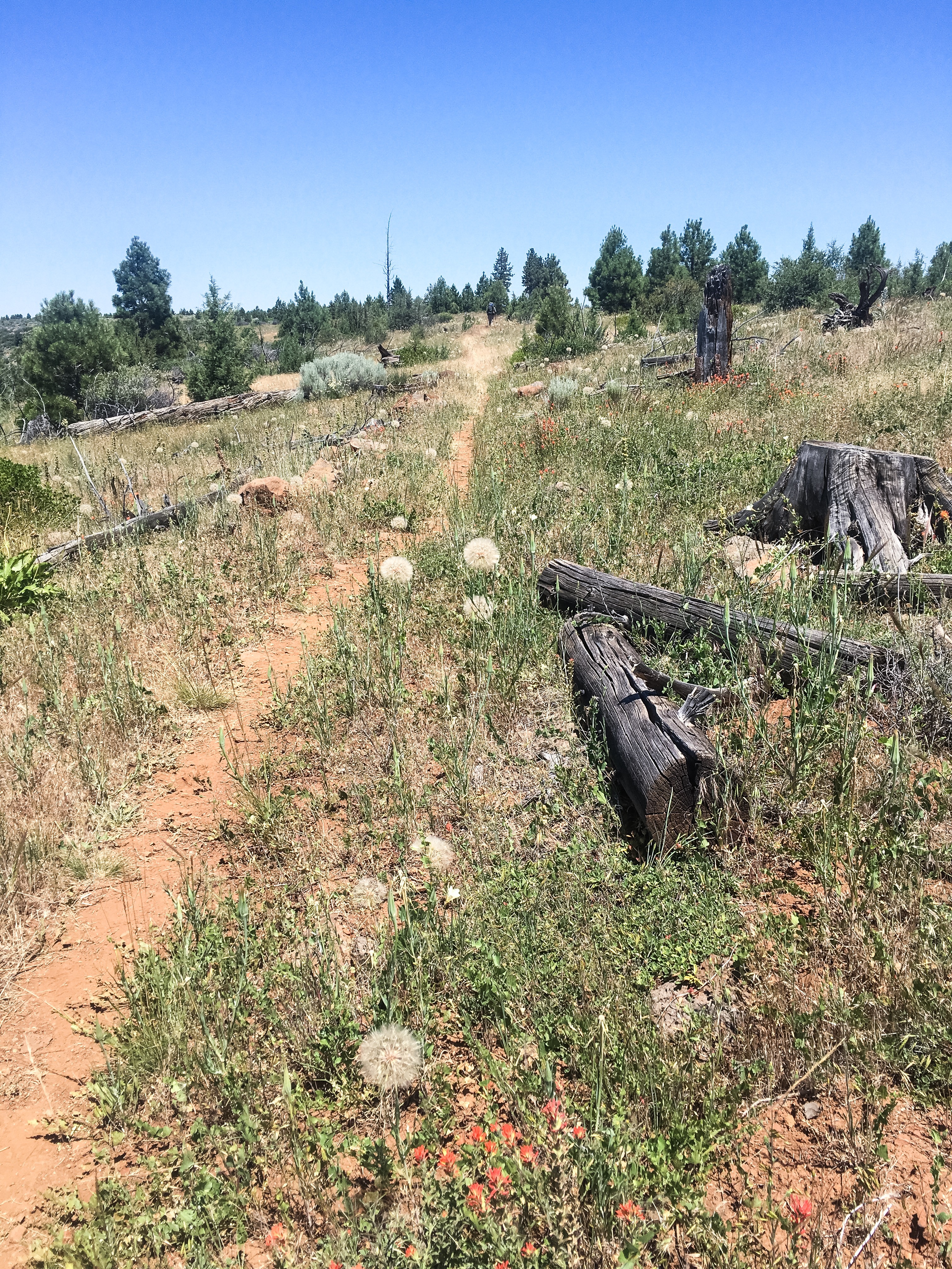
There is a long volcanic escarpment, or cliff overlooking a valley with the Hat Creek running along the base of the cliff. The trail follows the top edge of the cliff for 32 miles, so it is referred to as the Rim. There are two major problems: Lack of shade and lack of water. Oh, and heat.
There are a few trees, but most are stunted. Fire from lightning is common here. There is a spring at the 8-mile point, but it’s a difficult one mile scramble/climb down the side of the cliff, with reports from others that you need to carry the water back up with a pack as both hands are needed to climb back up.
We started the hike today with six liters each, drinking almost two liters getting to the spring. We figure leaving with five liters each can last us the 21 miles to the next water. We HATE the weight. 6 liters = 13.2 lbs.
Skip volunteered to be the water guy. He dumped the contents of his pack and went down for the three of us. He verified it truly sucked both down and back up, but he brought me 1 1/2 liters. I owe that man a couple of beers!
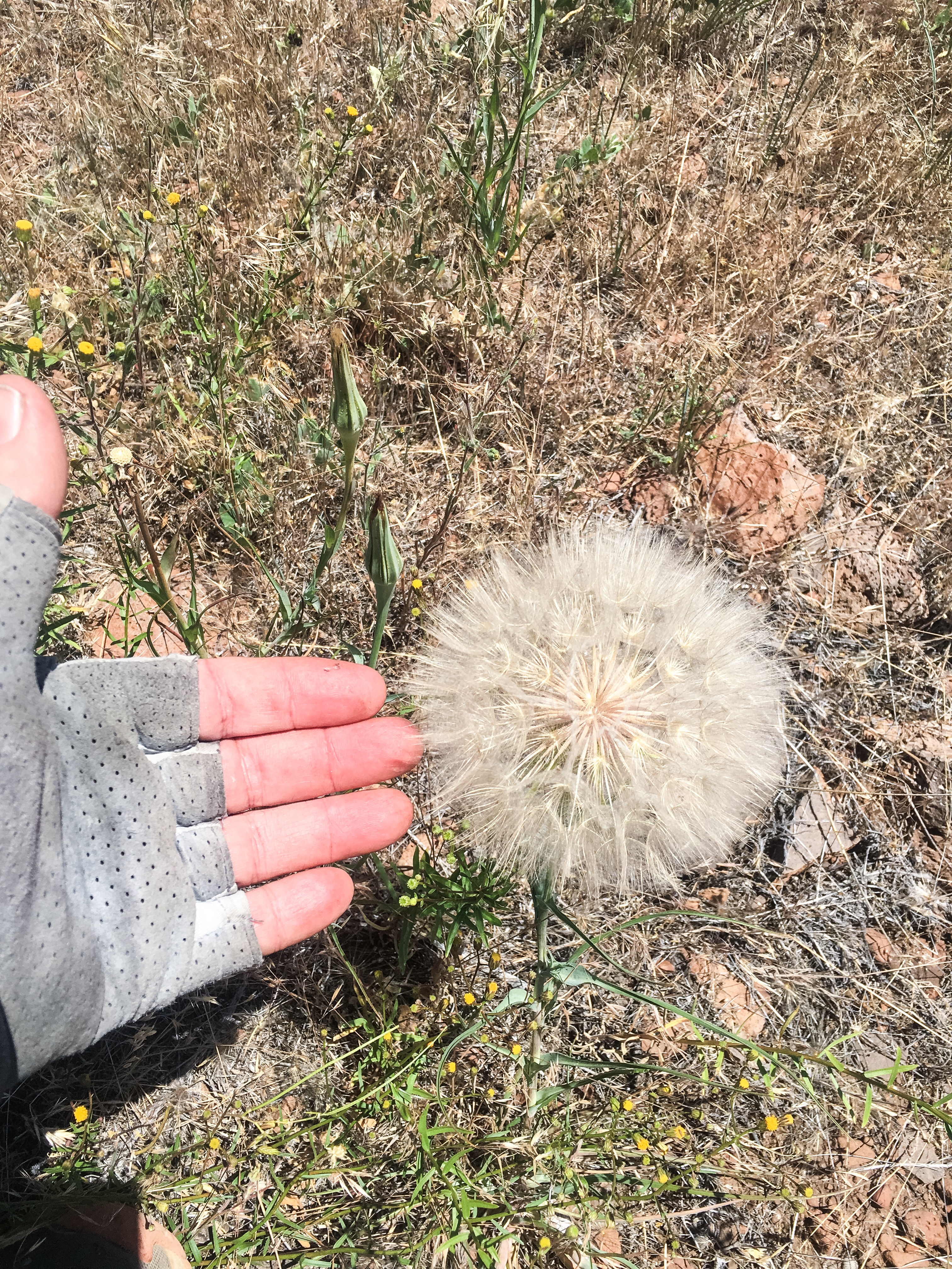
The trail and landscape is full of uneven volcanic rock. Each of us has caught the toe of his boot approximately 327 times on rocks poking up. There is nowhere to pitch a tent. The plants are also unique. There is a massive type of dandelion that is six inches across!
We finally made a small microwave tower at the 15 mile point and will camp here. That leaves 16 miles to the next water, a small stream. (Actually there might be a Cow Pond in 10 miles, but even filtered I don’t want to drink that)
The biggest surprise is that I have cell service here. 2 bars, but it’s enough to update the blog.
The views are kind of nice. We are northeast of Mt Lassen and Southeast of Mt Shasta. Soon we will be heading west between the two.
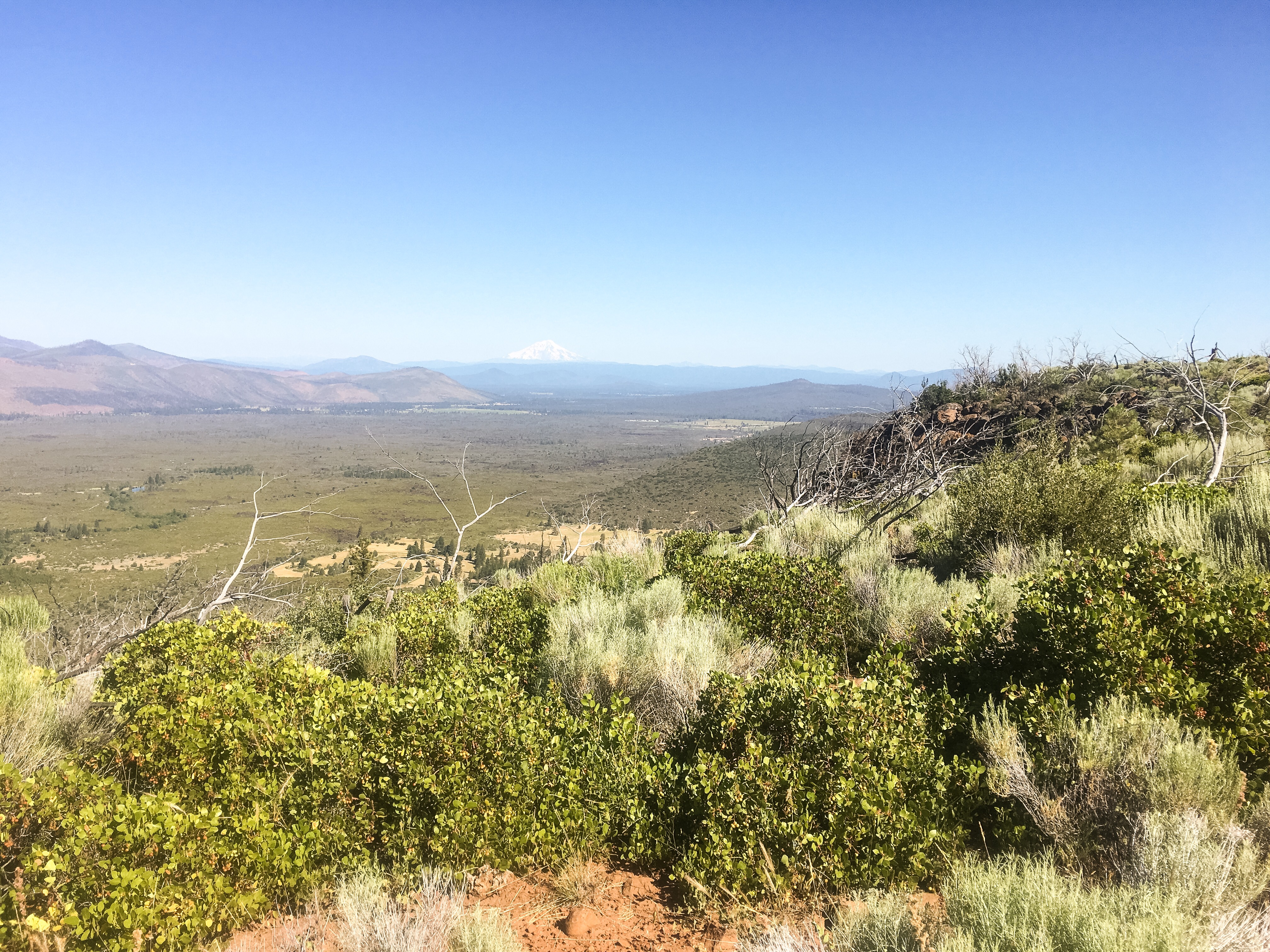
A peek at Mt Shasta